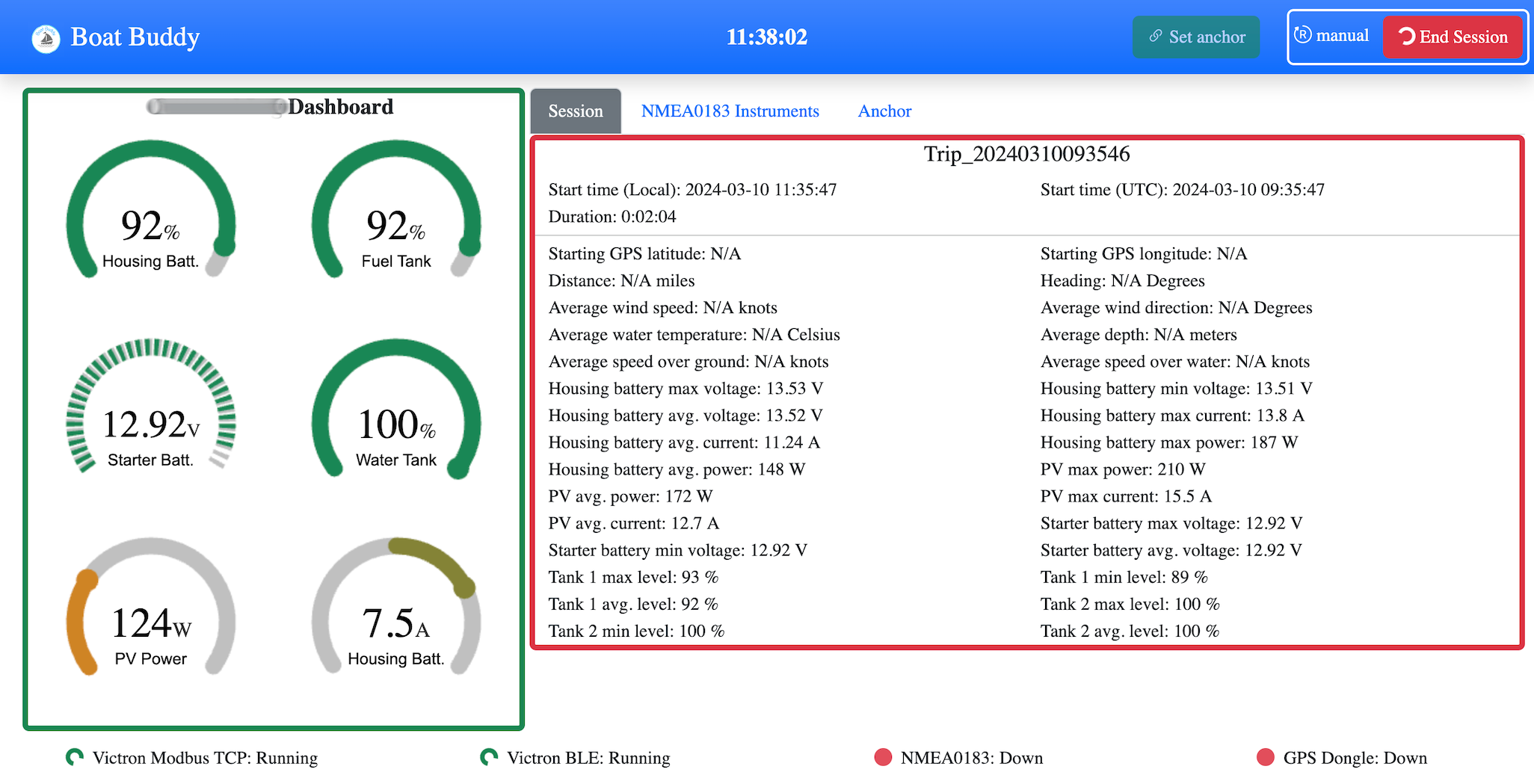
Cross platform, one stop solution that helps with gathering all sorts of metrics available on board and records them into a digital logbook format for easy reporting and analysis
Capture metrics from Victron systems, NMEA networks and external GPS dongles
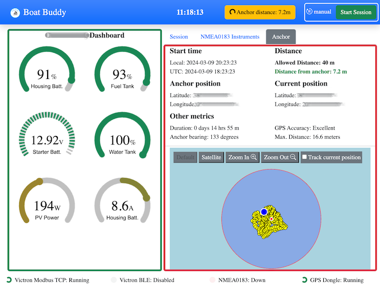
View your dashboard in a responsive web application accessible from any device on your network or on the internet (with using a public IP / Cloudflare tunnel)
Log metrics to excel or csv files for later processing
Define an anchor geofence and receive notifications when your vessel exits the defined region
Support for visual, sound, email and telegram based notifications
Code is written mostly in Python3, fully open source under the MIT license and the application is free to download and use
Configure the software with the desired metrics, alarms, notifications and session parameters and let it do the rest
Sessions can be:
The following are sample files obtained from a passage from Sardinia to Sicily which showcase the data that can be captured: Log (CSV), Log (Excel), Waypoints (GPX), Summary (Excel)